Lost Lake Trail | Clatsop State Forest | Oregon
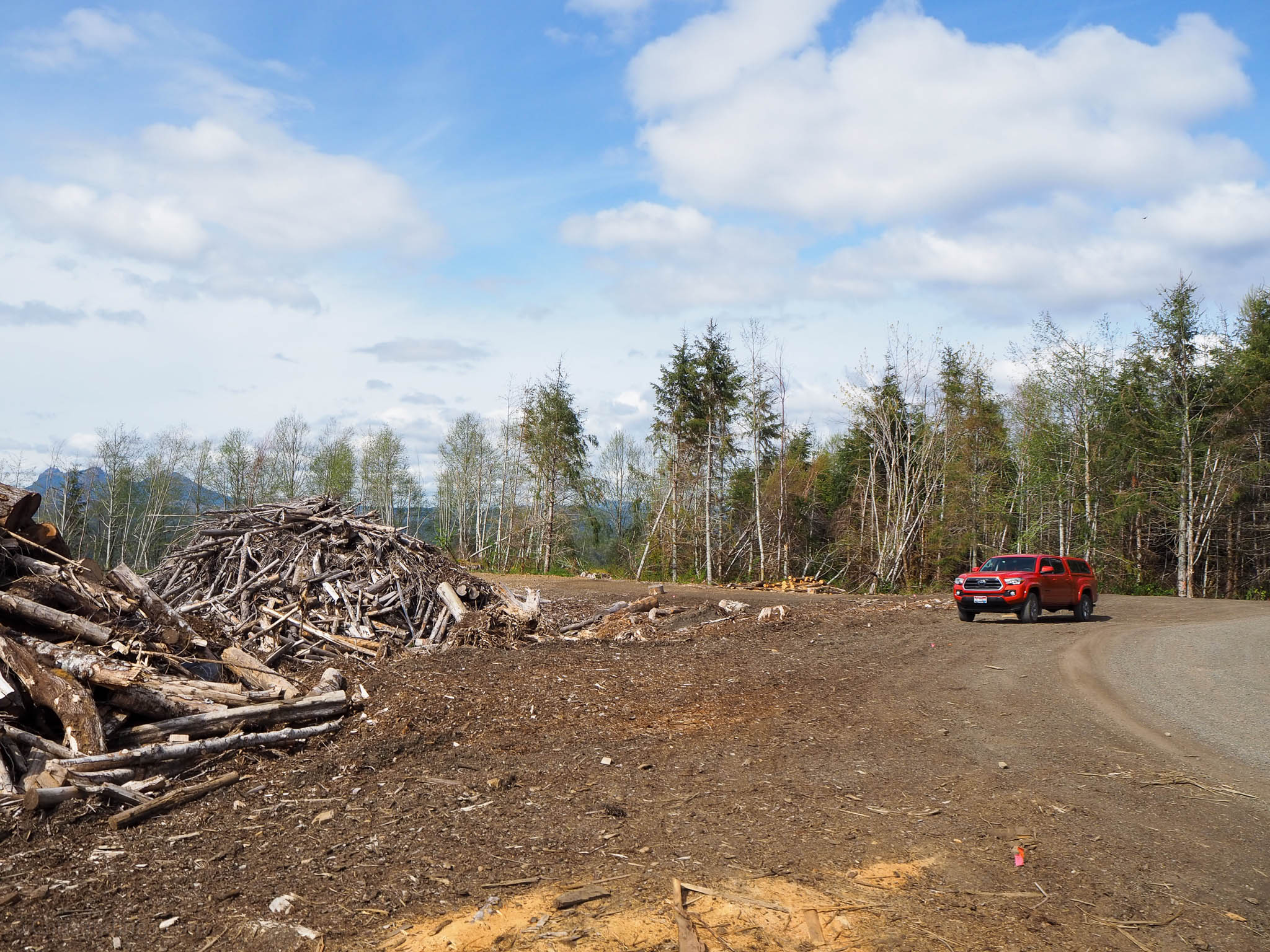
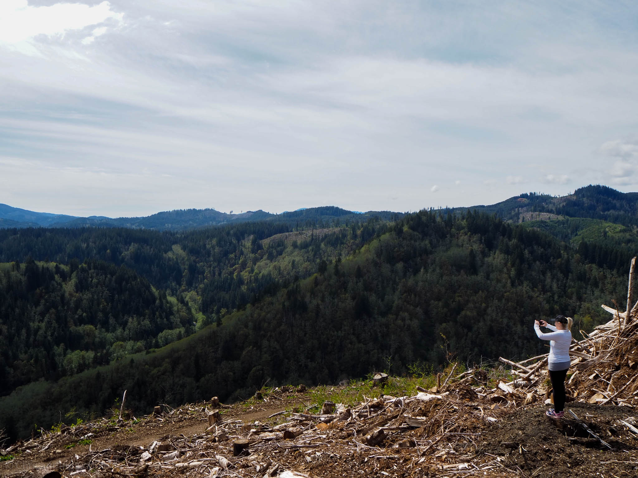
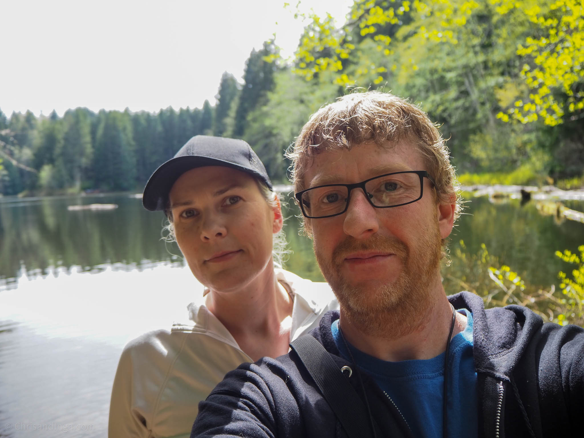
Inga and I were out exploring the Nehalem River off highway 26. On the drive, we passed another gravel road that went up the mountain, and the sign read ‘Lost Lake rd’. We decided it was worth it to drive up the mountain and find Lost lake. It was a good long drive up the mountain. I’ll post a google map at the bottom of the post for those of you that are interested in finding Lost Lake yourselves. Lots of great views on the way up to the lake. Once you reach the top, where it’s cleared from logging, you are getting close to the lake.
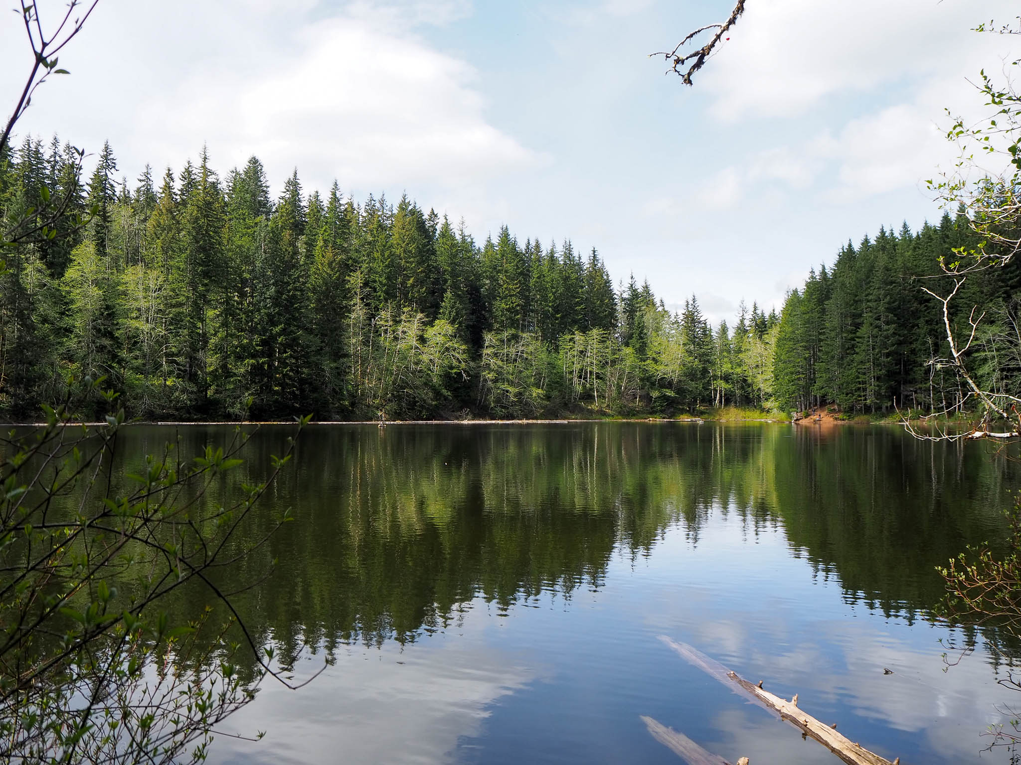
Photos of Lost lake
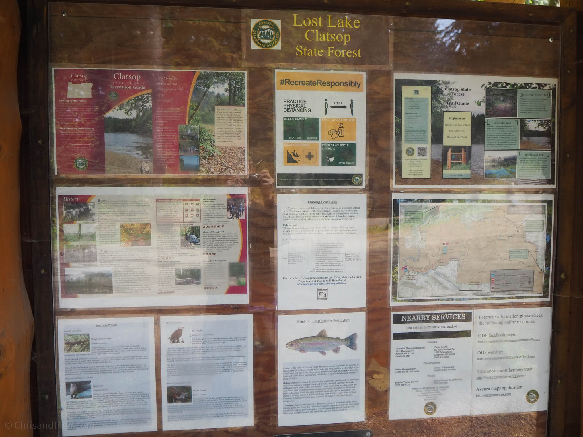
Lost Lake, although small in size, offers a nice 1.1 mile hiking trail that follows the shore around the lake. There are also plenty of extra spots away from the main parking area where you can access the water along the hiking trail. In some spots, the trail isn’t clearly marked, but it’s pretty easy to find the main trail again if you accidentally branch off on something that you thought was the trail.


Lost Lake Trail | Oregon
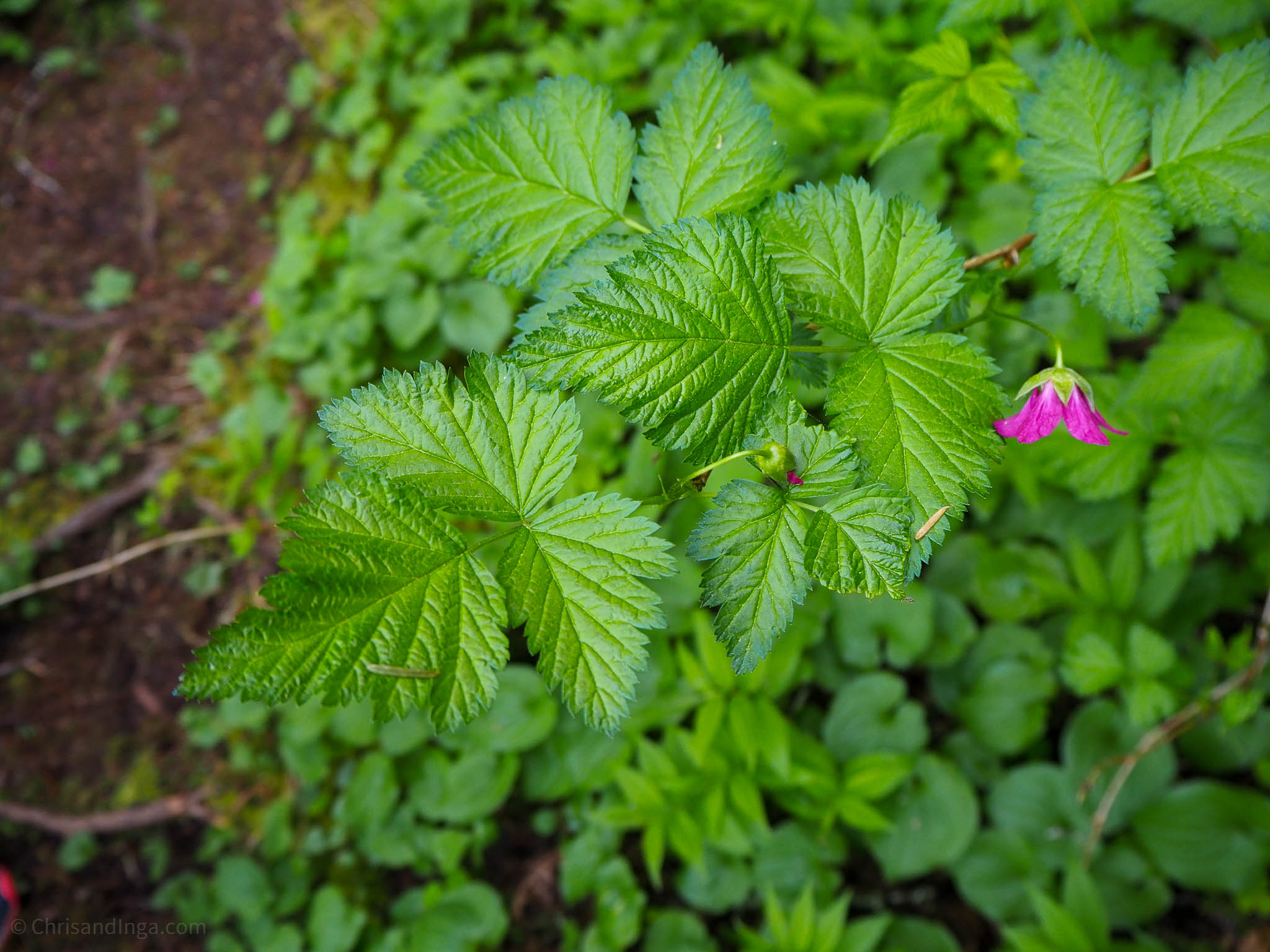
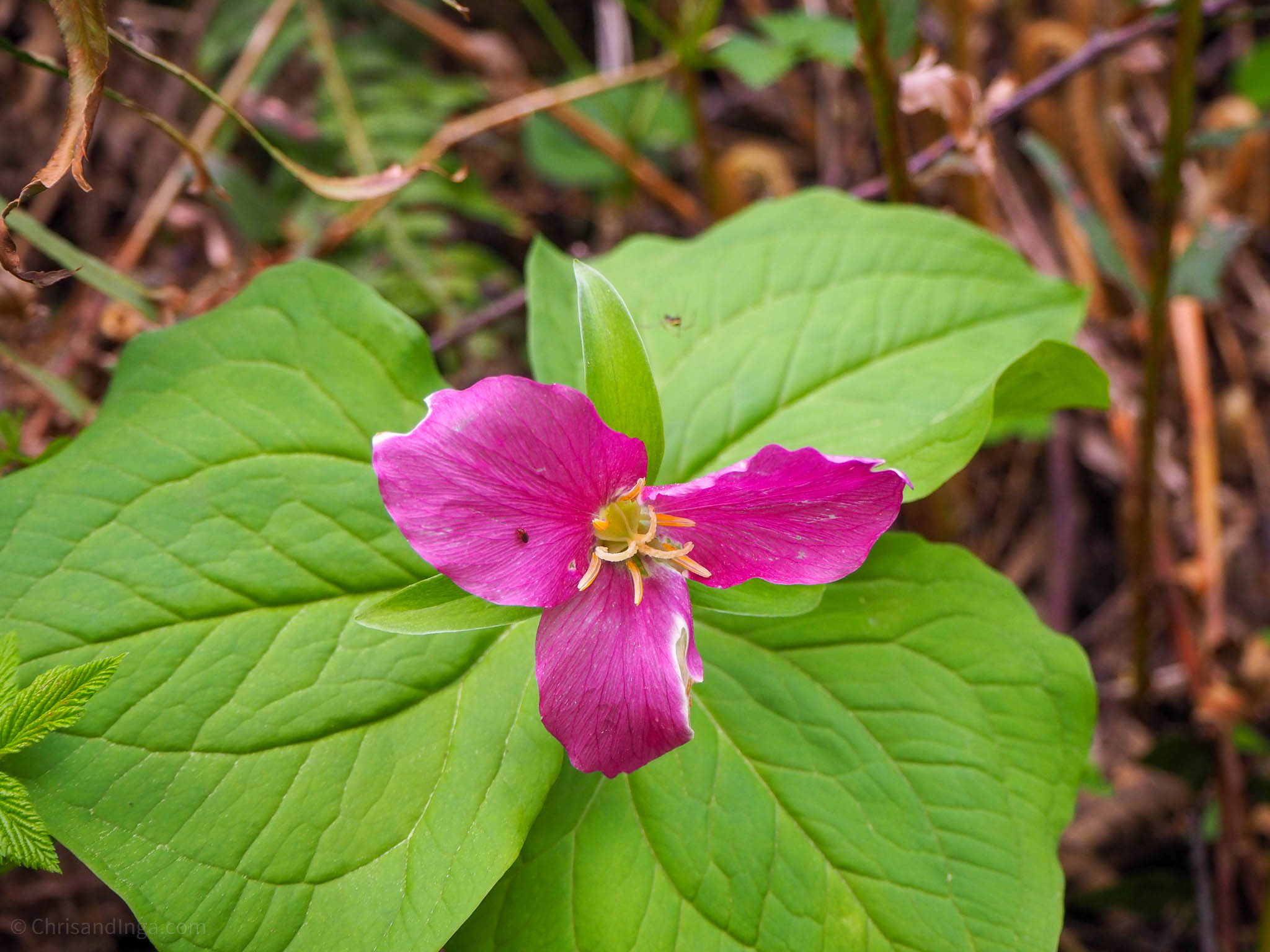
Lost lake trail is in the easy difficulty category as far as hiking goes. From left to right on the image slider you are looking at Red Deadnettle, a Salmonberry bush, and a Western Trillium.


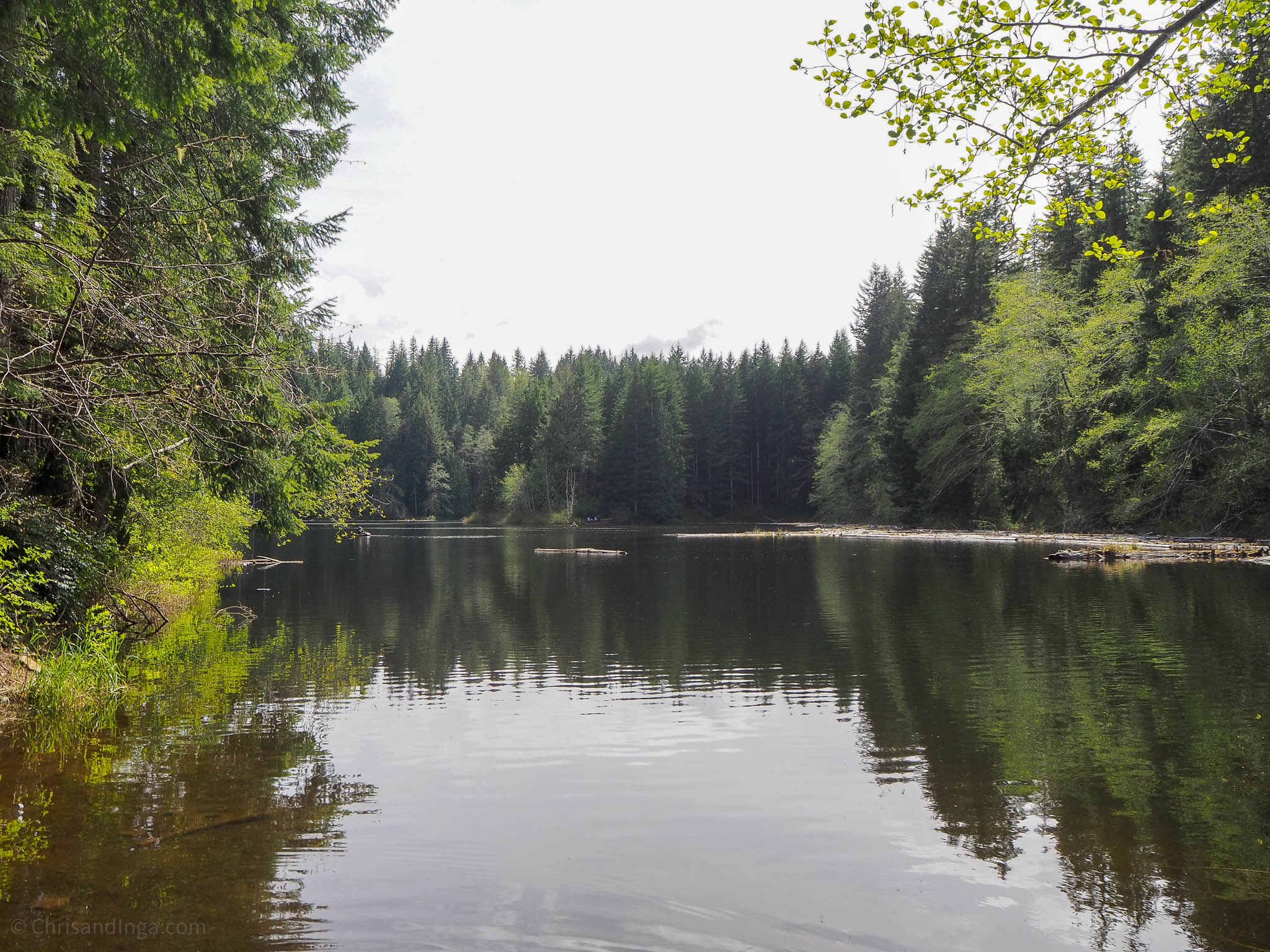
More Photos of Lost lake
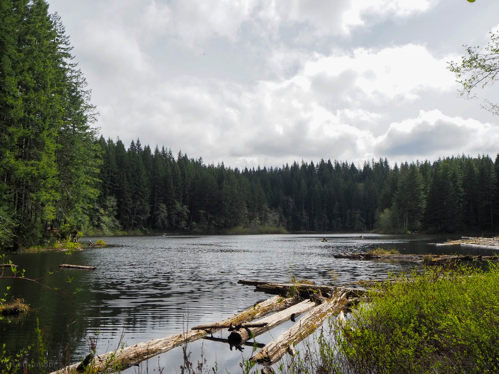
I tried to capture the lake from multiple spots as we worked our way around the hiking trail.
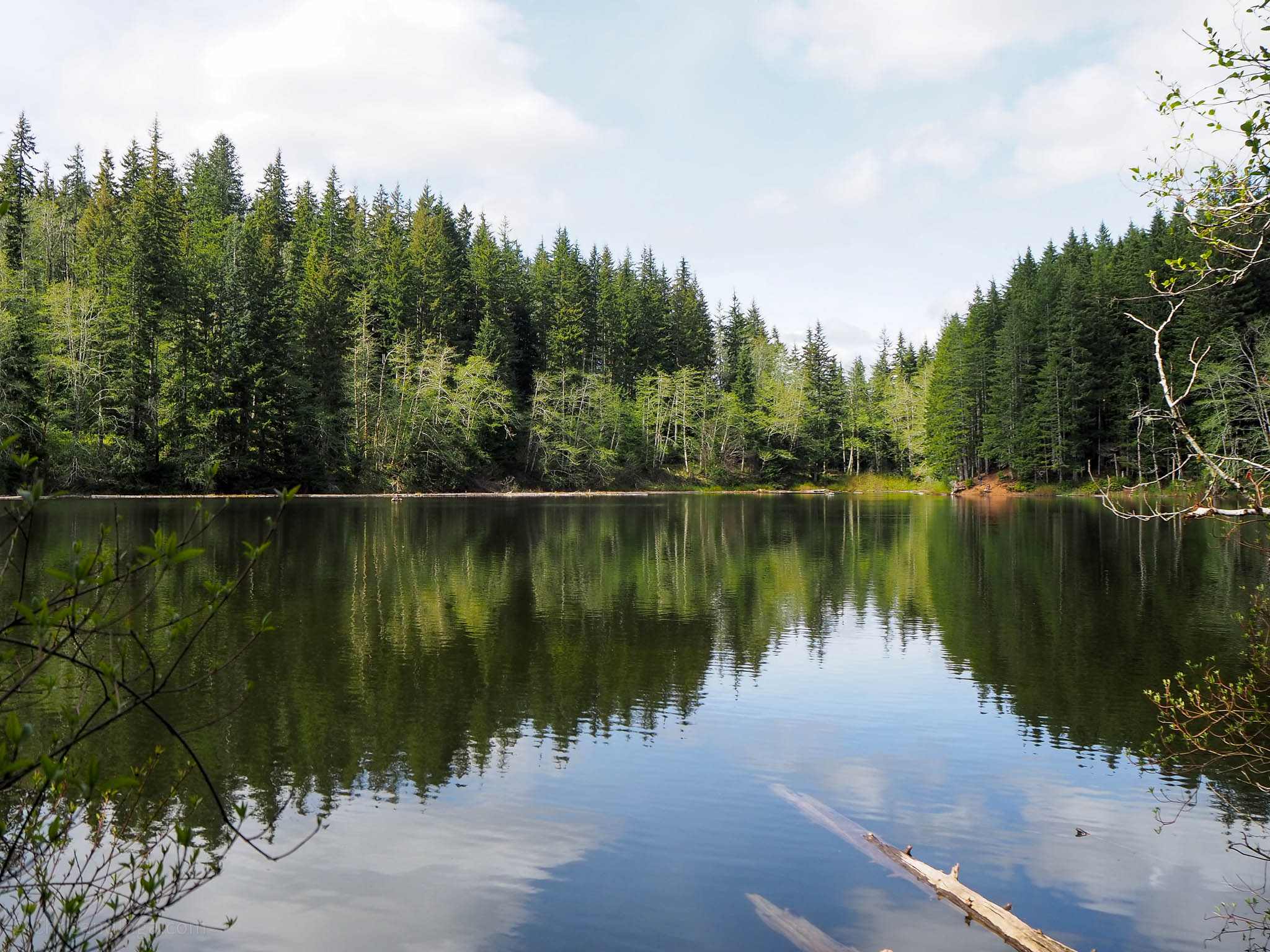


View of Lost lake